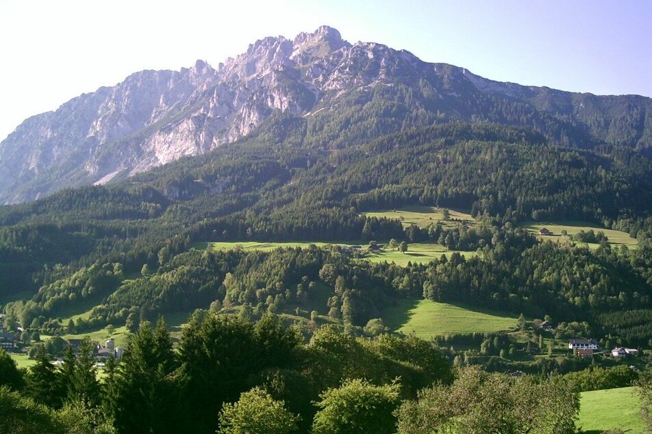
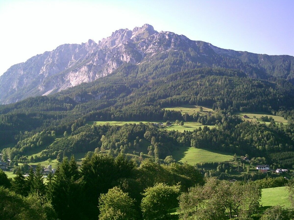
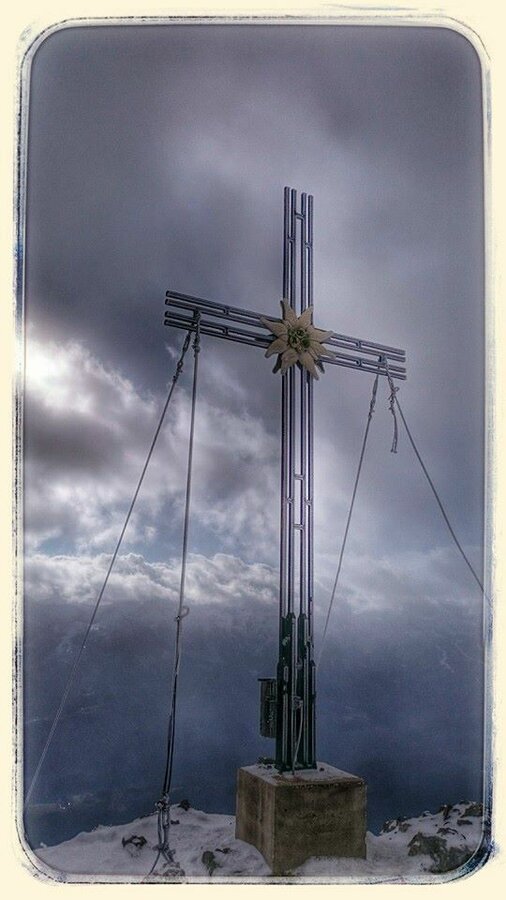
Kammspitze (2.139m)
mittel tour.status.partially-opened Wanderung · Gröbminger Land
Vom Parkplatz beim Katholischen Friedhof spazierst Du bergauf bis zum Hotel Sonnhof und folgst an der Wegkreuzung einem Hohlweg nach rechts. Dieser wird immer mehr zum Steig und bringt Dich über Säbelboden und Ziermel zum gesicherten Gipfelaufstieg über die Nordflanke. Für den Rückweg: Entweder wieder über das Zirmel oder als trittsicherer und erfahrener Bergwanderer kannnst Du den kurzen Kamin nach Süden runterklettern den vielen Serpentinen am Steig Nr. 677 bis zum Wegkreuz folgen. Entweder nach rechts zum Säbelboden und am Aufstiegsweg zurück oder direkt am Weg Nr. 677-er weiter hinunter nach Gröbming.
Bildergalerie


Steiler und langer Anstieg.
Safety information
Safety on the mountainside: changes in the weather, sudden fall in temperature, thunder storms, wind, fog and snow fields are all objective dangers and require the correct behaviour whilst underway. the landlords of the huts are all very knowledgeable about the mountains and can give you good tips about the weather and the routes. Insufficient equipment, exaggerated opinion of ones capabilities, frivolousness, poor health condition and a false evaluation of the situation can lead to a critical situation. In thunder storms: summits, crest-sites and safety rope aids are to be avoided.
If something should happen call following emergency numbers:
No. 140 - the number for all Alpine Emergencies in all of Austria
No. 112 - European emergency call GSM emergency-call-service
Safety information
Safety on the mountainside: changes in the weather, sudden fall in temperature, thunder storms, wind, fog and snow fields are all objective dangers and require the correct behaviour whilst underway. the landlords of the huts are all very knowledgeable about the mountains and can give you good tips about the weather and the routes. Insufficient equipment, exaggerated opinion of ones capabilities, frivolousness, poor health condition and a false evaluation of the situation can lead to a critical situation. In thunder storms: summits, crest-sites and safety rope aids are to be avoided.
If something should happen call following emergency numbers:No. 140 - the number for all Alpine Emergencies in all of AustriaNo. 112 - European emergency call GSM emergency-call-service
Festes Schuhwerk, Regenschutz, ev. Seil.
Hier findest Du Tipps für die richtige Wahl der Wanderschuhe.
Das besondere dieses Gipfels ist sein wild zerklüfteter Kamm, speziell nach Westen. Aber auch der Blick nach Gröbming, zum nahen Grimming oder in die Tauern ist spektakulär. Im Norden liegt etwas tiefer die Viehbergalm mit dem kleinen Miesbodensee und die felsige Hochfläche der "Landschaft am Stein".
Tour auf eigene Gefahr! Es wird keinerlei Haftung bzgl. allfällig gegebener bzw. auftretender Alpingefahren (Wetter, etc..) übernommen.


